InfoRange‘s goal is to improving rangeland use and governance and increasing resource-use and production efficiency in rangeland-based livestock production through digital and ICT applications/services that permit user-generated information acquisition and transmission.
InfoRange uses a social-ecological systems approach to:
- Adapt, modify and further develop existing ICT tools for decision support in rangeland management and use as well as for veterinary service provision.
- Render digital and ICT services more relevant for rangeland users’ immediate management decisions (e.g. on grazing, watering and health management) and overall rangeland governance.
- Develop procedures and solutions to enhance the use of ICT tools by land-users and increase their distribution and accessibility under reduced network coverage
- Integrate external telemetry and observatory data with land-user-generated data of bio-geo-physical ecosystem features and applications/services that permit user-generated information acquisition and transmission.
The project will be implemented in Kenya and Namibia. In Kenya, the project will be implemented in the northern arid and semi-arid Marsabit County in Laisamis and Moyale Subcounties – i.e. two study locations. In Namibia, InfoRange will be implemented in the Kavango East Region (including George Mukoya and Muduva Nyangana Conservancies) and Omaheke Region (including the Eiseb Conservancy and Aminuis).
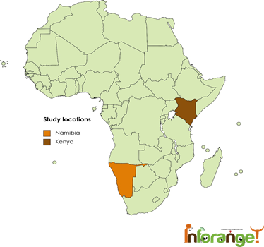
Map made with: https://www.mapchart.net/africa.html