
- You are here:
-
Home

-
deutsche Inhalte
-
Kultur & Kunst
-
Inventory Online
- About


![]()
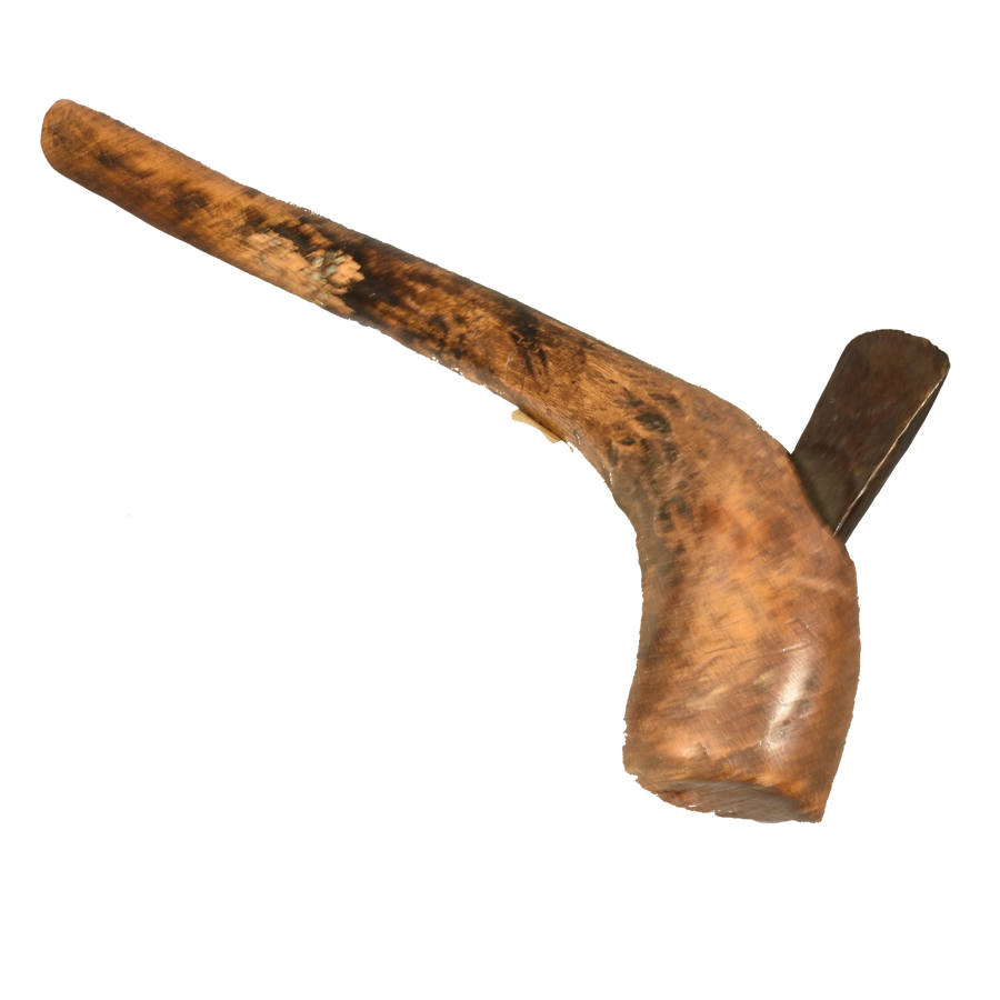
 (Post)-colonial livestock breeding in Namibia
 NaviNut
![]() SAGRIS
SAGRIS
2020-2023 Erasmus+ Programme of the European Union
![]() 2018–2020 BLE / BMEL
2018–2020 BLE / BMEL
![]()
RELOAD
2013–2018 BMBF GlobE
Trans-SEC
2013–2018 BMBF GlobE
International Centre for Development and Decent Work (ICDD)
![]()
2009–2019 BMZ / DAAD
Coalition of European Lobbies for Eastern African Pastoralism![]()
![]()
2011–2015 BMZ / giz-BEAF GrassNet spin-off