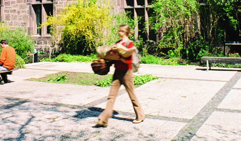
Inventory Online

The Steinstraße campus was formerly known as Wilhelmshof.
The oldest building parts of the entire complex date back to 1275.
and were built as a monastery for Cistercian nuns.
In the course of history, the property has been used for a variety of purposes and has been
and has been continuously rebuilt and extended.
1275 - 1291 Monastery of the Cistercian nuns
1291 - 1530 Monastery of the Wilhelmites
1530 - 1533 Landgravial Hessian Domain
1533 - 1738 Private property of Bodenhausen / Kulenkamp
1738 - 1866 Hessian estate of the landgraves
1866 - 1898 Prussian domain
1898 - 1945 German Colonial School
In the meantime: Military hospital (1914-1918 and 1942-1945)
After the Second World War, parallel uses took place.
1945 - 1952 Witzenhausen district and municipal hospital
1945 - 1966 Higher agricultural school / Max Eyth School
1946 - 1962 DEULA German Training Institute for Agricultural Engineering
1957 - 1966 Training College for Tropical and Subtropical Agriculture
1963 - 1971 Consultant Seminar for Rural Development Aid / German
School of Engineering for Foreign Agriculture
since 1956 German Institute for Tropical and Subtropical
Agriculture DITSL (owner)
since 1971 Kassel Comprehensive University - since 1993 Kassel University
Today, the Steinstraße campus is mainly used by DITSL, the
University of Kassel, the Society for Sustainable Development GNE
and other associations, societies and companies in the university environment and in the
and companies in the university environment as well as in the fields of ecological
agriculture and sustainable international development
Unterkategorien
About
Rangeland-based livestock production is a major land use system that contributes between 15 and 60 percent of the agricultural GDP in eastern and southern African countries. The growth of rangeland vegetation is highly variable in space and time, occurring in temporary patches.
Knowledge of rangelands is crucial to their management and strategic use of resources. Local communities have developed strategies that are grounded in cultural practices, stories, ethics, and norms specific to their area. These strategies also require access to up-to-date information on heterogenous and seasonal resource availability.
However, site-specific information on the condition and intensity of use of rangeland resources is rarely available or accessible to herders in real-time. Consequently, incomplete or outdated information is often the basis on which pastoralists make decisions.
Information and communication technologies (ICT) have enormous potential to provide easily accessible up-to-date information to increase efficiency based on spatial data generation, telemetry services, GPS navigation services, and mobile phone network services, reliably facilitated by an ever-growing system of private and public satellites.
To successfully co-develop technology, InfoRange uses a transdisciplinary approach to create the ICT solutions together with users in a way that embeds them in social innovations. Through an actor- and activity-oriented approach, we build on the knowledge of different involved actor groups to understand how their decision-making can be improved through ICT.
Linking digital solutions to the existing system offers opportunities for the community to improve their information gathering and sharing and make it more effective. In addition, digitization can facilitate communication between various stakeholders, such as veterinarians, authorities regulating water supply in pasture areas, or government agencies involved in other pastoral services.
- Aktuelle Seite:
-
Startseite

-
News & Events
-
deutsche Inhalte
-
Kultur & Kunst
- Inventory Online